-
Positioning the Pacific for the Future
-
Our Meetings
-
Regional Maritime Boundaries
-
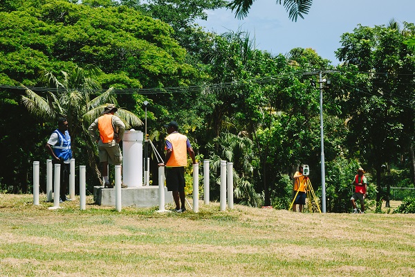
Women in Geospatial Science and Surveying
-
Regional Capacity Building
The Pacific Geospatial and Surveying Council
Sustainable development in the Pacific enabled by world-class geospatial information and surveying services
STRATEGY
CALENDAR
PROJECTS
PARTNERSHIPS
Established by the Pacific Region, for the Pacific Region
In November 2014, a group of Pacific regional surveying and geospatial experts met in the margins of the annual Pacific Geospatial Information Systems and Remote Sensing (GIS/RS) User Conference in Suva, Fiji. It was at this meeting that the Pacific Geospatial and Surveying Council (PGSC) was first envisaged and a charter governing its mission and objectives was developed.
"We fully realize the importance of critical geospatial infrastructure and information in helping countries and decision-makers make more informed decisions on mitigation and preparedness."
-Ambassador Peter Thompson, Fiji's Permanent Representative to the UN, 26 Feb 2015
